Exploring Yellowstone National Park is a bucket list adventure. It’s one of the very best-known US national parks for a reason! Between the rushing waterfalls, serene lakes, and wildflower-strewn meadows, there’s a hike here for everyone. Read on for the very best Yellowstone hikes.
Contents
Best Hikes in Yellowstone National Park
Easy Yellowstone Hikes
1. Fairy Falls Trail
Distance: 5.4 miles (8.6 km) or 6.7 miles (10.7 km) there and back with just 105 feet (32 m) elevation gain.
Description: Fairy Fall Trails is a super popular hike in Yellowstone National Park so arrive early if you’re hoping to find availability in the very small parking lot; it’s just one mile south of Midway Geyser Basin.
Otherwise, park at the end of Fountain Flat Drive.
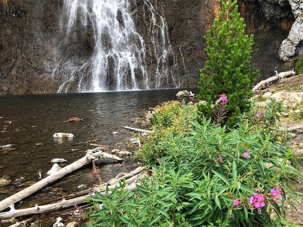
The Fairy Falls Trail is a really lovely hike wto the park’s tallest front-country waterfall. It’s 200 feet high!
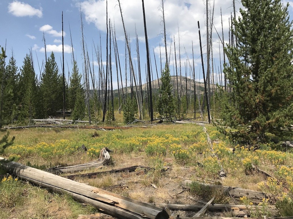
In spring and summer, the bright pink wildflowers are really on point here. A fire in the 1980’s roared through this area.
As you walk, you’ll traverse a peaceful lodgepole pine forest. Don’t miss the overlook with the panoramic view of the technicolor Grand Prismatic Spring and Excelsior Geyser.
This used to be an unofficial secret spot used mostly by photographers.
However, more recently, the park created a new half-mile “official” trail featuring the viewpoint.
Top tip: Watch for bears! This trail was in the news a few years ago after a hiker had a skirmish with a bear on this trail.
Of course, you could encounter bears on trails throughout the park so just be cautious and bring your bear spray!
Read more on AllTrails.
2. Grand Prismatic Spring OverLook Trail
Distance: 1.2 miles (2 km) roundtrip with an elevation gain of 105 feet (32m).
The Grand Prismatic Spring Overlook Trail begins as the Fairy Falls trail. It is wide and flat, with the spring off to the right in the distance.
A half mile along, you’ll see a turnoff (look for the sign) to the left to the Grand Prismatic Springs Overlook Trail. Then it’s just 0.1 miles uphill to the overlook.
Description: This is one of the better-known and most popular trails in Yellowstone. While it can be slippery at times, it’s pretty straightforward and easy.
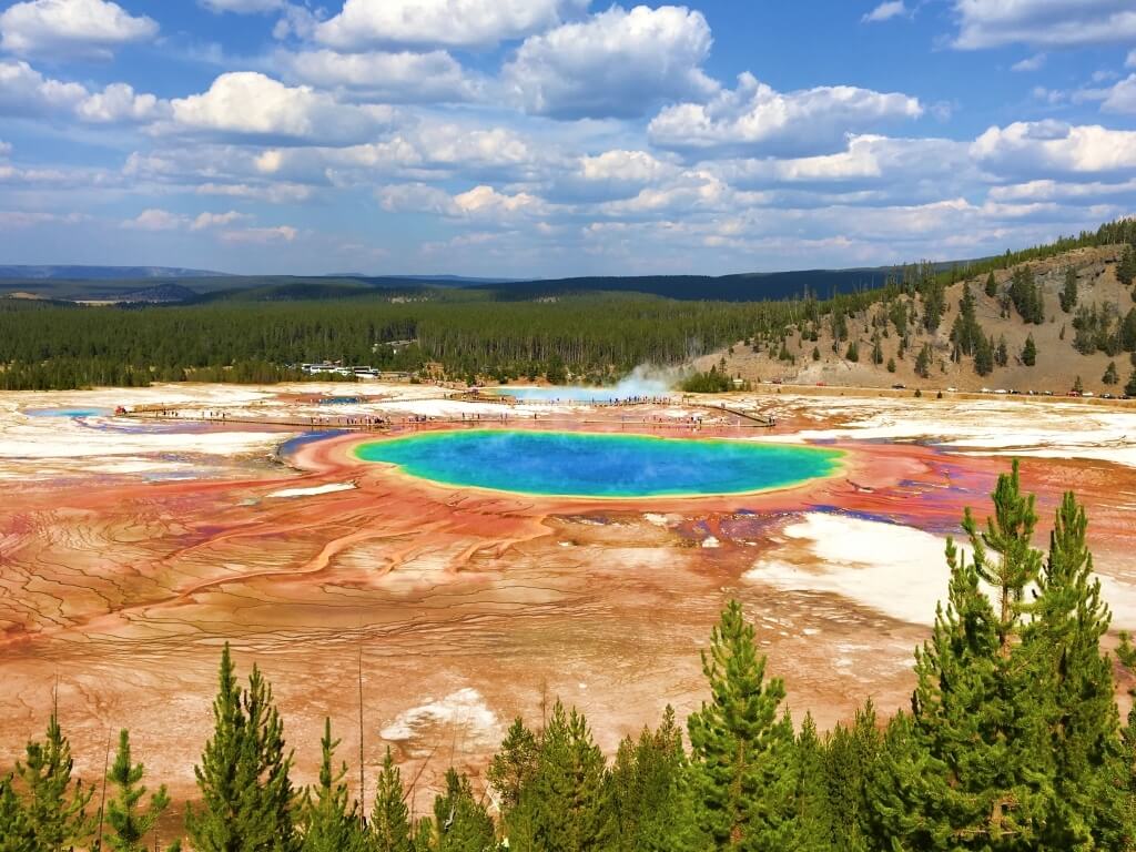
It’s all about the overlook here as it features unforgettable views of the multi-colored Grand Prismatic Spring. You won’t be the only one here at the height of the summer so please be respectful as others jostle for photos.
Once you’ve enjoyed the view from the platform, continue down the trail towards the waterfall. The trail rejoins the Fairy Falls trail. Otherwise, you can jus return the way you came to the parking lot.
Tip: This trail is not the same hike as the boardwalk trail the goes around Grand Prismatic Spring.
The Midway Geyser Basin parking lot has access to the boardwalk for the hot springs.
The best reason to take this trail is to see the colors for yourself up close. Watch the steam rise as the bubbling water falls into the river.
However, as noted above, this is not the overlook trail, and there is no trail connecting that parking lot to the overlook trail.
If you’re interested in the overlook trail, you’ll want to park about a mile south. Parking fills fast!
While it’s always nice to beat the crowds on a hike by heading out first thing, in this case, your best bet is to tackle it in the afternoon. In the AM, there’s frequently mist that obscures the colors of the spring that you’re looking for.
This usually burns off around noon so time your hike for the afternoon and snap up any parking spot you find.
Read more on AllTrails.
James|Parks Collecting
3. North Rim Trail
Distance:- 8 miles (13 km) with over 1000 feet (304 m) in elevation gain.
Description: This trail often gets passed by in Yellowstone by visitors; they tend to hike the South Rim Trail instead as it passes by the Insta-worthy Yellowstone River.
However, there’s a good reason to choose the North Rim trail instead. It’s the best way to gain access to the best viewpoints of the canyon here.
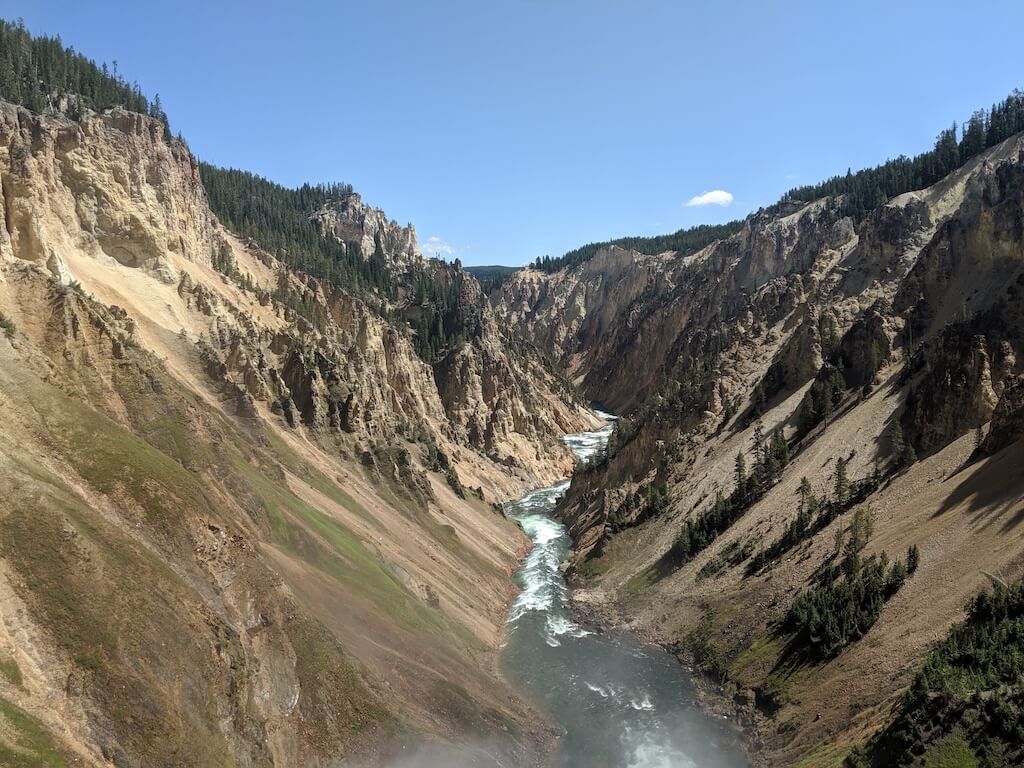
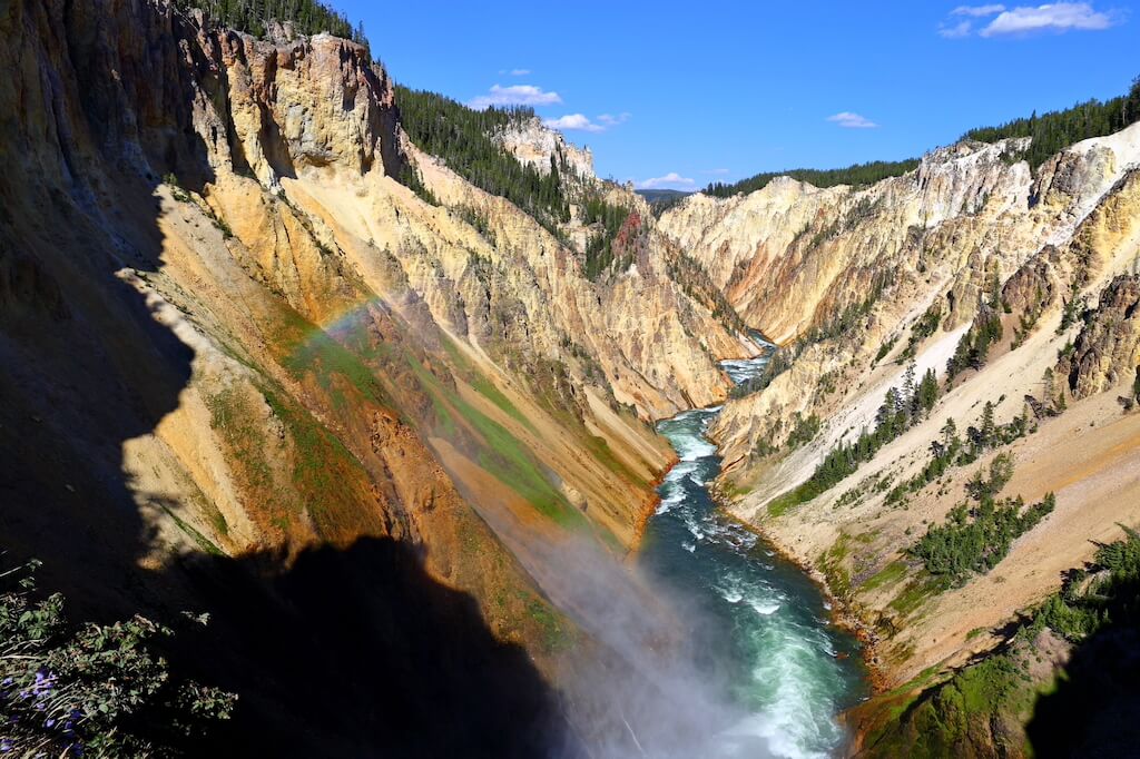
You can start this hike from either Inspiration Point car park or Upper Falls car park for a birds-eye view across the whole river canyon. Look for the fantastic color variations here and impressive geologic formations.
Tip: Take the wooden staircase down to the Red Rock viewing point. It’s the perfect spot to capture a panoramic photo of Lower Yellowstone Falls from a distance.
While you’re here, don’t miss the jaw-dropping viewpoint at Brink of the Lower Falls. You’ll stand right at the spot where the Lower Falls tips over the edge!
The best part of this hike is the opportunity to really experience the rush and power of the tremendous river. Be aware that the switchbacks leading down from the North Rim trail are steep and usually busy.
Read more on AllTrails.
Nick | Illness to Ultra
4. Point Sublime Trail
Distance: 3 miles (4.8 km) out and back with 250 feet in elevation gain.
Description: Point Sublime Trail is for everyone! Whether you’re a beginner or an advanced hiker, you’ll likely enjoy this short-ish hike.
Look for the trailhead right at Artist Point. There’s a reason for the name…It’s one of the most gorgeous viewpoints anywhere along the Yellowstone Grand Canyon of the impressive Lower Falls.
While it’s tempting to take a quick peak and head for your car after the viewpoint, don’t skip the easy trail here!
You’ll meander along the edge of the canyon here on Point Sublime Trail for incredible panoramic views of this giant canyon carved by the vast Yellowstone River.
It’s an easy hike so it’s not far for a rest in the shade at Point Sublime itself.
While there are better views along the trail (versus at the end of Point Sublime Trail), it’s all about the journey here.
Tip: On many parts of the trail, hikers are within a few feet of the very steep cliff and the fatal thousand-foot drop.
There are no guard rails on this trail, so if you’re not a fan of heights, be cautious here.
Read more on AllTrails.
Sean |LivingOutLau
Read More on Western USA Travel:
• Summer in Grand Teton National Park
• Best Hikes in Zion National Park, Utah
• West Coast National Parks You Shouldn’t Miss!
• How to Plan the Ultimate Utah Road Trip
5. Lone Star Geyser Trail
Distance: 4.8 miles (8 km) with an elevation gain of only 72 feet. You should plan on a two or three hour visit if you’d like to see the eruption of the geyser.
Lone Star Geyser Trail is one of the lesser-known places in Yellowstone. It’s perfect for escaping mid-summer crowds!
You’ll begin by following the Firehole River through a peaceful forest. In fact, the path here is mostly paved so you could even cycle this trail.
Look for the parking lot and trail head just south of the Kepler Cascade.
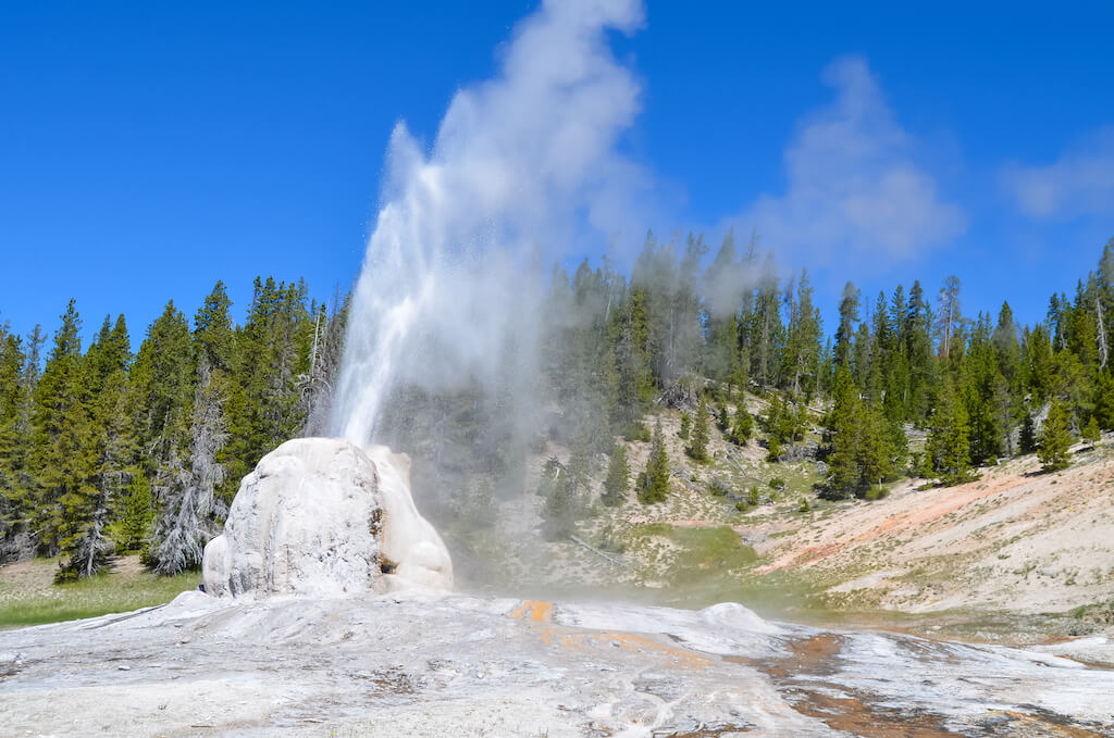
Lone Star has one of the largest cones in Yellowstone (10 feet/3 m high) and erupts about every 3 hours.
Imagine an eruption that jumps into the air 45 feet for a full five minutes! A loud steam phase follows. In fact, you can hear the noise a mile away.
The trail completes at the junction with the Howard Eaton trail (which is part of the Continental Divide Trail).
From there, you can continue on to Shoshone Lake (which would be a full-day trip) or go to the other side towards Old Faithful Village.
You’ll find plenty of smaller hot springs between the Lone Star Geyser and the junction.
Overall, it’s an easy flat hike but keep a look out for bears. Always follow bear safety rules, i.e., talk on the trail so you don’t surprise them, and always bring bear spray.
Tip: The best way to find out when the next geyser eruption will occur is to check the logbook to see if previous hikers noted it there.
Read more on AllTrails.
Andriana | Czech the World
6. Storm Point Trail
Distance: 2.3 miles (3.7 km) loop trail. Elevation gain is only 82 feet.
Description: Storm Point hike is both easy and flat. Access the trailhead 2.5 miles past the Fishing Bridge Visitor’s Center if you are heading east toward Cody, Wyoming.
The wildflowers here in summer are often amazing. Meander past Indian Pond until you arrive at a lakeside trail with impressive vistas.
If you walk all the way to dramatic Storm Point, you may find a colony of yellow-bellied marmots in the nearby rocky area here.
Then relax on the beach (or wade in the lake) before looping back through a fragrant forest of lodgepole pines. Breathe in the sound of silence.
Tip: You may see bears here in early spring or summer. The best way to find out about bear activity is to check at the nearby Fishing Bridge Visitor Center before you head out!
Read more on AllTrails.
Don’t forget to pack bear spray!
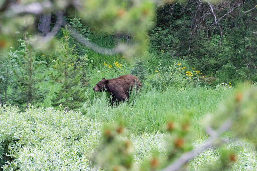
Remember…wild animals are wild. It’s a magical experience to spot a bear in Yellowstone.
Just remember to keep your distance. Always hike with one or more people. Carrying on a conversation is a far better way to help them know people are nearby than using bear bells. Always keep bear spray at the ready…ie., hooked onto a pants pocket or backpack where it’s easy to access (rather than inside a backpack).
It’s illegal to carry bear spray on a plane, but if you’re driving, you can buy some on Amazon here. Or get some in the park.
Wondering what else to pack? Check out my list of Yellowstone essentials.
Moderate Yellowstone Hikes
7. Clear Lake—Ribbon Lake Trail
Distance: 3.8 miles (6.2km) out and back with two different loop options for your return. Elevation gain is 482 feet (147 m).
Description: This easy-to-moderate hike is great for exploring Yellowstone with kids, back country lovers, and those who gravitate toward tried and true favorite hikes in the area.
This hike has it all: wildflower meadows, forests, hydrothermal activity, and an option for seeing the Grand Canyon of Yellowstone.
Starting at the Waipiti Lake Trailhead, follow the Waipiti Lake Trail for 0.6 miles (1km) and then turn left at the junction to join the Clear Lake-Ribbon Lake trail.
In spring and early summer, the surrounding meadows are filled with wildflowers and the flat sprawling landscape is ideal for spotting wildlife, including bison, bears and moose.
The trail enters the forest, with Clear Lake Trail joining from the left (for an alternative route start at Uncle Toms, follow the Clear Lake Trail and join at this junction) and then descends on to the banks of the mesmerizing emerald green and hydrothermal Clear Lake.
Stick to the path in this area; the trail passes a number of pools of bubbling mud and simmering steam vents.
Beyond Clear Lake, the path meanders through forest, climbing gradually uphill followed by a steep descent to the Artist’s Point connector junction.
Continue on the Ribbon Lake trail to the peaceful lilypad-covered waters of Ribbon Lake, where birdwatchers can spot numerous waterfowl.
From here, several options are possible. To lengthen the hike, cross over the outlet stream and hike to the rim of the Grand Canyon of Yellowstone to see the Silver Cord Cascade plummet into the Yellowstone River below.
To create a loop, return either on the Waipiti Lake Trail or return to the Artist’s Point connector junction, pass Lily Pad Lake, and return via Artist’s Point and the South Rim Trail.
Whichever return route is chosen, this hike won’t disappoint and is rare in delighting both beginner and experienced hikers with an opportunity to get a taste of all the flavours of Yellowstone’s varied and unique landscapes.
Tip: Leave enough time to do the extra trails to Silver Cord Cascade and Point Sublime. Combine with other trails to create a loop.
Read more on AllTrails.
Joss |Little Green Globetrotter
Save on your parks visit: Get the America the Beautiful Pass
The America the Beautiful Pass is your ticket to freedom! For $79.99, it gives you a whole year of access to more than 2,000 federal recreation sites, including national parks nationwide.
It covers entrance for a driver and all passengers in a personal vehicle or up to 4 adults at sites that charge per person. When you buy through REI, they donate 10 percent of the sale to the National Park Foundation.
Get your America the Beautiful pass here.
8. Observation Point Trail (near Old Faithful)
Distance: 1.6 miles (2.5 km) with 262 feet (80 m) elevation gain.
Description: Located in the Upper Geyser Basin, in the southwest section of the park, Old Faithful is probably the most popular geyser in Yellowstone National Park.
It erupts to a height of 100 to 180 feet, and the frequency of its eruption is reasonably predictable, which is currently at about 94 minutes.
Thousands of visitors flock to see this geyser erupt every season.
Hiking the Observation Point Trail is one way to see the geyser erupt from a unique vantage point while avoiding the crowds.
To head to the starting point of the hike, walk from the Old Faithful Visitor Education Center to the boardwalk around the geyser, turn right at the Geyser Hill sign, and continue down the path.
The hike is moderately hilly and is frequented by photographers and bird watchers. Time yourself to start at least thirty to forty minutes before the next eruption.
The visitor center continuously posts updates about eruption timings. Park yourself at one of the slopes to enjoy a panoramic view of the Old Faithful geyser shooting up into the sky.
Tip: Extend your hike by continuing west to Solitary Geyser before returning to the trailhead.
Supriya | fun travelog

9. Brink of the Lower Falls Trail
Distance: .7 miles out and back, elevation gain 265 feet. This hike takes 30 minutes to complete.
Description: While this is a short hike, what makes it challenging is the series of steep switchbacks that take you to the very brink of the Lower Falls.
You’ll wind your way through a forested section of the Grand Canyon until you arrive at an observation platform near the Lower Falls of the Yellowstone. It’s stunning!
Tip: Don’t estimate the challenging nature of this short trail. It’s a popular trail so expect crowds as well.
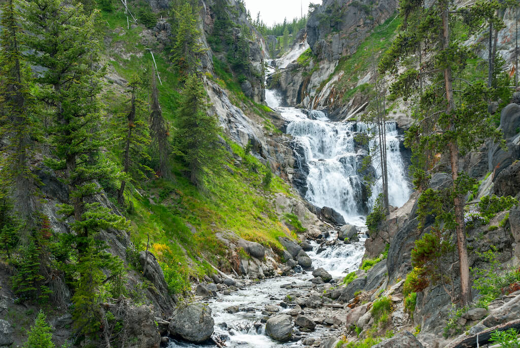
10. Mystic Falls, Fairy Creek and Little Fire hole Loop
Distance: 3.5 mile loop, elevation gain 606 feet. This hike takes an average of 1 hour 38 minutes to complete.
Description: One of the best things about this loop is that it’s frequently less busy than some of the more popular hikes near by.
You’ll start at Biscuit Basin—a geyser basin—before heading across a foot bridge and up through a forest and wandering along Little Firehole River.
This is a beautiful hike past active springs and geysers. You’ll enjoy panoramic views galore here as you
The big reward? Arriving at beautiful Mystic Falls. The viewpoint from the lookout is really something to behold. This falls cascades 70 feet. Plus, there are a num er of smaller hot springs downstream. Look for yellow-bellied marmots.
Tip: If you time your hike right, you can watch Old Faithful erupt from the peak here!
11. Upper Falls, Lower Falls, and Crystal Falls Trail
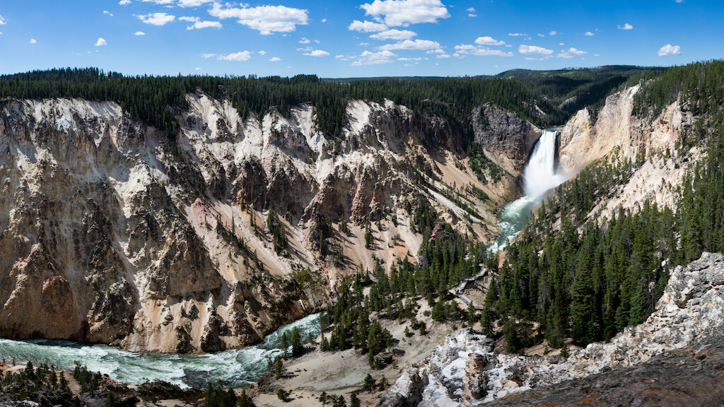
Distance: 4.1 miles out and back, elevation gain 459 feet. This hikes takes an average of one hour 39 minutes to complete.
Description: This trail offers incredible views of both the falls and the canyon. It’s a mostly paved trail with just a few significant elevation changes.
One challenge is that you’ll be hiking to viewpoints along this route that other park visitors can also access via driving to parking lots so anticipate crowds.
Still, except for a few elevation changes, it’s an easy hike that gives you a bonus waterfall. Crystal Falls is an often overlooked waterfall—cascading 129 feet—near Upper and Lower Falls. It’s also beautiful!
Tip: You’re likely to find a number of fallen logs along he trail so be aware in case you’re hiking with kids on your back.
12. Dunraven Pass to Mount Washburn
Distance: 6.8 miles out and back, elevation gain 1,394 feet. This hike takes an average of 3 hours 24 minutes to complete (but up to six hours).
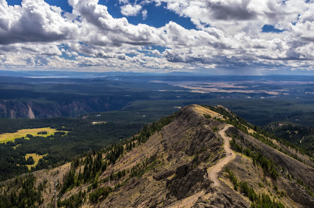
Description: Some of the best panoramic views in the park are from this trail!
You’ll start at the Dunraven Pass Trailhead as you ascend Mount Washburn. Keep an eye out for bighorn sheep and wildflowers!
Be cautious if hiking with children as there are some steep sides as you cross the ridge here…but your reward is 360 degree panoramic views at the top! You can see Electric Peak, Cutoff Mountain, Mount Sheridan, and the Tetons from here!
Parts of this hike are exposed and there is no access to water so plan ahead.
Tip: Avoid this hike in September and October. Grizzly bears frequent this area then in search of nuts.
Difficult Yellowstone Hikes
13. Avalanche Peak Trail
Distance: 4.5 miles out and back, elevation gain 2,070 feet. This hike takes 3 hours 28 minutes to complete.
Description: This challenging trail enters the forest to the right of the creek and heads up, up, up, nearly 2,100 feet in 2.1 miles!
You’ll arrive at the base of Avalance Peak and then continue traversing switchback until you come to a level area below the summit. Take the trail up the narrow ridge line with extreme caution.
Tip: This trail is often covered with snow until early July. Grizzly bears frequent this area in September and October in search of white bark pine nuts. Late summer is a great time to hike here but bring plenty of water!
14. Seven Mile Hole Trail
Distance: 9.7 miles out and back, 2,043 feet elevation gain. This hikes an average of 5 hours to complete.
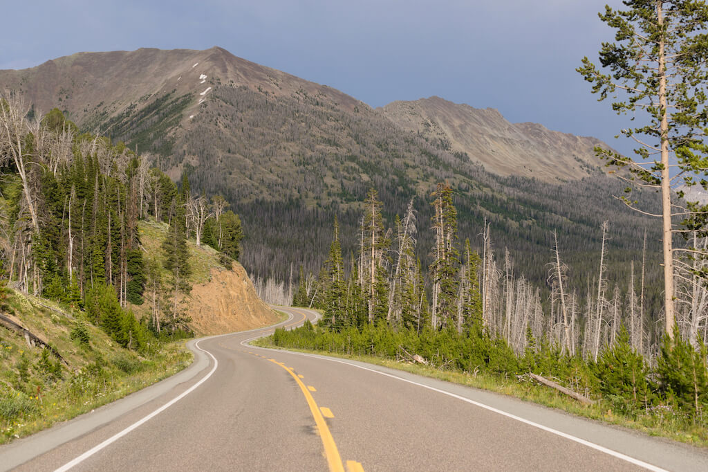
Description: For the first one to 1.5 miles, walk along the canyon rim for views of Silver Cord Cascade. Then you’ll join the Washburn Spur Trail before turning right onto the trail to Seven Mile Hole.
This is a strenuous hike. In fact, the trail descends more than 1,000 feet in the 2.3 miles before Seven mile Hole.
The rushing Yellowstone River is the focus of this hike but it’s also kind of a “best of Yellowstone” hike because it offers viewpoints, a good chance of seeing grizzly bears and other wildlife, and passes through both pine forest and meadows.
You’ll see several hot springs and vents as well!
Tip: There can be deep snow here in winter. Wear snowshoes! Plan on mosquitos in summer.
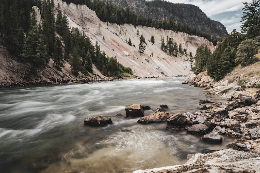
15. Slough Creek Trail
Distance: 20.2 miles out and back trail, elevation gain 1,505 feet. This hike takes an average of 7 hours 19 minutes to complete.
Description: Follow a historic wagon trail into the Absaroka-Beartooth Wilderness near Gardiner. You’ll begin with a steep ascent, followed by a descent into the first meadow. You can turn around here or take a rest and continue down the trail another 2.6 miles to the second
Tip: Bison sightings are common here!
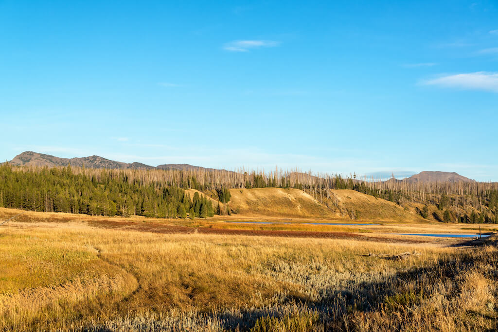
16. Osprey Falls Trail
Distance: 8 miles (13 km) there and back, elevation gain 800 feet (243 m). This hike takes 4 to 5 hours round-trip.
Description: If you find yourself in Yellowstone National Park and are looking for a hike that takes you off the beaten path, head to the Northwest corner of the park near Mammoth Hot Springs to find the trailhead for Osprey Falls. It’s a great Yellowstone hike.
You’ll head to an impressive 150-foot waterfall that sits inside the gorgeous Sheepeater Canyon on the Gardiner River.
Don’t let the mileage scare you; the first (and last) 3 miles are flat as you make your way towards (or from) the canyon.
Only mile 4 and 5 require you to descend 800 feet into the canyon and ascend upon your return.
With numerous switchbacks, you will hardly notice you are going downhill.
Once you reach the bottom of Sheepeater Canyon, you aren’t far from the falls.
You will notice that the water twists and turns as it flows down the rocks at Osprey Falls, which means it’s a little challenging to get a full view of it, but what you can see, hear, and feel is powerful and stunning.
Tip: Beware that most of the trail is exposed due to new growth trees that are thriving after a terrible wildfire in 1988.
Read more on All Trails.
Ashely | Impact Winder
Yellowstone Hikes FAQ
1. What are the best hikes in Yellowstone near the west entrance?
The best easy hikes are Grand Prismatic Hot Springs, Fairy Fall Trails, and West Thumb Geyser Basin Trail. Try Brink of the Lower Falls for a little more challenging trail.
2. What is the hardest hike at Yellowstone?
Specimen Ridge Trail is the hardest hike in Yellowstone. Plan on 17 miles with an elevation gain of 3,800 feet. You’ll see bison, bears, bighorn sheep, and antelope!
3. What is the most scenic part of Yellowstone?
The most scenic part and best views are at Artist Point with views of Lower Falls, Lamar Valley in Northeast Yellowstone, the Observation Point Trail, and Grand Prismatic overlook.
Pin it for later!
We took the Point Sublime trail three on three separate trips because it is so spectacular, but we never made it to the end once! Two times there were afternoon thunder and lightning storms that turned us back although most of the crowds continued on. The third time, we thought we were being smart by going early in the morning so we could have the gorgeous trail all to ourselves. We did–almost. We were hugging the cliff and turned a corner to see a grizzly bear about 20 feet away. Thankfully, there were no cubs or kills to protect so this bear just looked up and snorted at us and we slowly backed away. The whole walk back we told everyone that there was a grizzly on the trail and no one turned around! In 2020, the grizzlies will have roamed much more freely and I am sure that they could be anywhere. Carry bear spray and go hiking when there are crowds that have already scared the bears away.
Yes! It is incredible to see bears in the wild and there will be more of them roaming widely in summer 2020. It’s why I recommended bear spray in this post 🙂
Yep. Just got back from yellowstone. Did all those hikes and more. Gorgeous!!!
Impressive, Lynn!